Toledo Bend Reservoir
The habitat structures can be located at the GPS coordinates listed below:
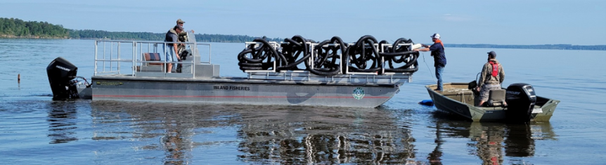
PVC STRUCTURES
- Haley’s Ferry: N 31.72961, W -93.82158 (20 Structures)
- Patroon: N 31.50764, W -93.75727 (20 Structures)
- Pendleton: N 31.47104, W -93.75264 (14 Structures)
- Palo Gaucho: N 31.41694, W -93.72186 (20 Structures)
- Indian Mounds: N 31.34398, W -93.67493 (20 Structures)
- Six Mile Fishing Pier: N 31.23944, W -93.75551 (6 Structures)
- Lowe’s Creek: N 31.39035, W -93.68142 (20 Structures)
- Indian Mounds: N 31.33608, W -93.68012 (20 Structures)
- N. Housen: N 31.29384, W -93.68655 (25 Structures)
- Six Mile: N 31.24946, W -93.68027 (25 Structures)
- N. Mill Creek: N 31.20551, W -93.64870 (20 Structures)
- Buck Creek: N 31.17143, W -93.61098 (20 Structures)
- Indian Creek: N 31.15293, W -93.60731 (20 Structures)
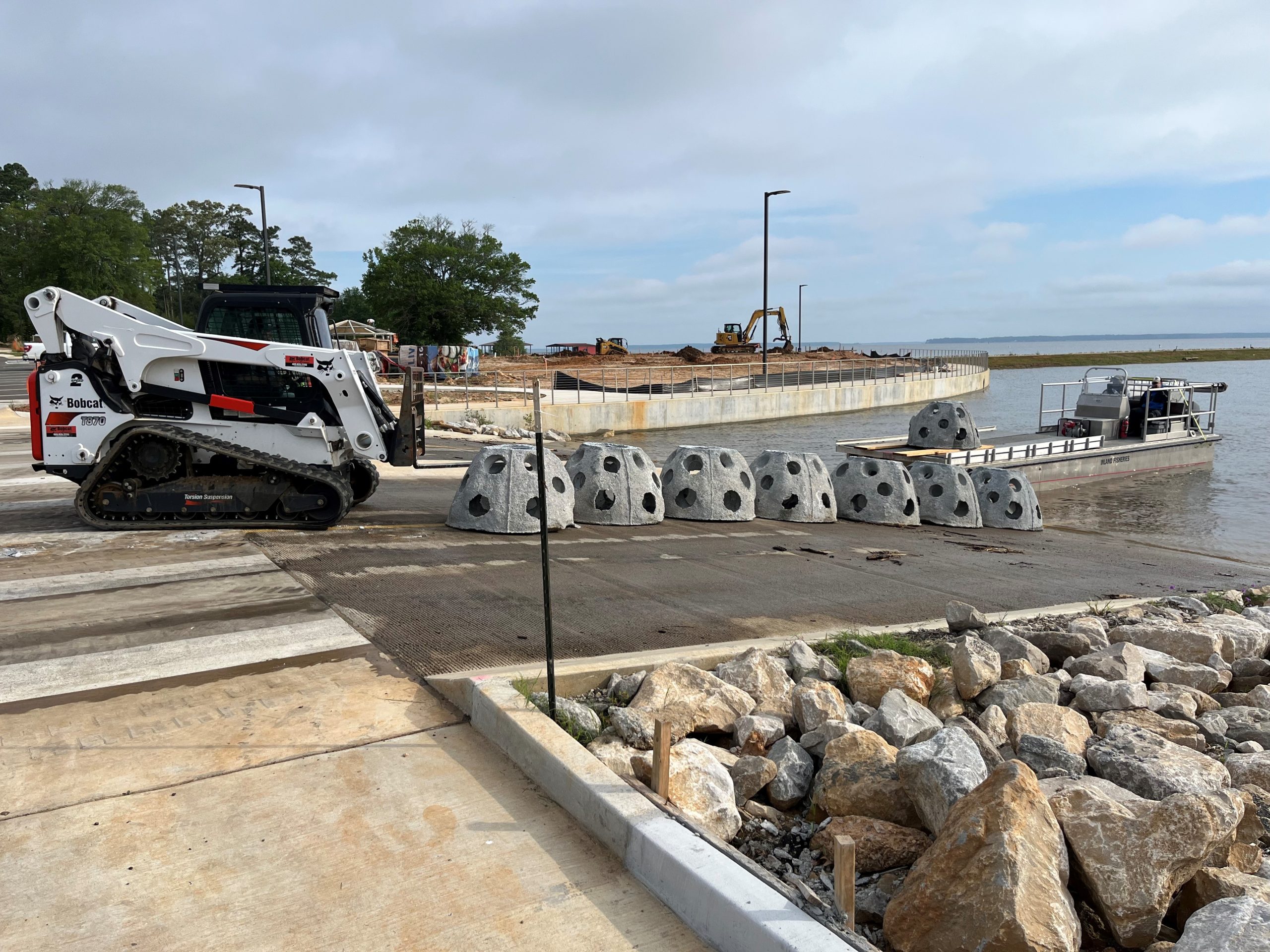
CONCRETE STRUCTURES
- Haley’s Ferry: N 31.71373, W -93.81715 (12 Structures)
- Ragtown: N 31.67320, W -93.81632 (12 Structures)
- East Hamilton: N 31.61906, W -93.83420 (12 Structures)
- Spring Hill: N 31.44082, W -93.74517 (12 Structures)
- Cox’s Ridge: N 31.41714, W -93.71828 (12 Structures)
Link To Texas and Parks and Wildlife (TPWD) Website