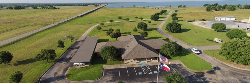
|
| Basin Info. & News |
The Iron Bridge Dam and Reservoir Project was the first major project built by the Sabine River Authority of Texas. The Reservoir, Lake Tawakoni (tuh-wock´-o-nee), has a surface area of about 36,700 acres. The Dam is located about 10 miles northeast of Wills Point, Texas, and the Reservoir lies within parts of Hunt, Rains, and Van Zandt Counties. The project's primary purpose is one of water conservation and supply. The reservoir storage capacity at conservation pool elevation of 437.5 mean sea level (m.s.l.) is 927,440 acre-feet. The dependable annual yield of the project is 238,100 acre-feet (212.6 million gallons per day). The City of Dallas has contractual use of 80% of that amount. From the remaining yield, the Authority supplies water to a number of other municipal customers in the vicinity of the reservoir. Public recreation use of the Reservoir and its 200-mile shoreline is an additional benefit derived from the project. The Authority issues limited use permits for the use and/or development of the waterfront by private landowners and commercial establishments including marinas, fishing camps, trailer parks, golf courses, and other installations. The Authority has also constructed public use areas including picnic tables, comfort stations, boat ramps, and other recreational facilities. A major recreational development owned and operated by the Authority, Wind Point Park, provides complete facilities for weekend campers on a 350-acre site on the northeast shore of the Reservoir. Contact InformationIron Bridge Division - Lake Tawakoni ReservoirP.O. Box 310
See Also |
| To address comments to the Sabine River Authority of Texas, please contact us. |
| http://www.sratx.org/aboutsra/ibd.asp |
| This page requested on 7/23/2008 at 8:24:55 PM CST |
| Home | Privacy Policy |
State Web Site Statewide Search |