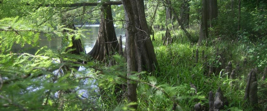
The Texas Clean Rivers Act, enacted in 1991 by the 72nd Legislature, established the Texas Clean Rivers Program (TCRP) to ensure the comprehensive regional assessment of water quality in each watershed and river basin of the State. The TCRP is a cooperative effort between the Texas Commission on Environmental Quality (TCEQ), Texas Parks & Wildlife Department (TPWD), the TCRP Partners, agencies, local entities, and the public to coordinate and conduct water quality monitoring, assessment, and stakeholder participation to improve the quality of surface water within each river basin in Texas.
The TCEQ website provides Surface Water Quality:Data and Maps Information and it can be found by clicking HERE.
Sabine River Basin water monitoring data collected by SRA-TX and other TCEQ-approved entities can be downloaded from TCEQ's CRP Data Tool.
For help with the CRP Data Tool, see the CRP Data Tool User Guide.
Steering Committee and Coordinated Monitoring meetings are scheduled each year in the spring to engage stakeholders and inform them of water quality and monitoring activities within the basin. See Notices for scheduled Sabine Basin Steering Committee Meetings.
The TCRP Coordinated Monitoring Schedule shows the stations and parameters monitored by TCRP Partners and other entities, including SRA-TX.
The Sabine River Authority supports and participates in the Texas Stream Team Volunteer Monitoring Program.
Sabine Basin TCRP funded reports can be found on our Forms page.
For additional information regarding SRA-TX's participation in the TCRP, contact:
TCEQ
Lawrence Bassett , Sabine Basin Project Manager
crp@tceq.texas.gov
512-239-6679
SRA-TX
Luke Sanders, TCRP Project Manager
ubfo@sratx.org
903-878-2262